Thursday, April 14, 2011
Subscribe to:
Post Comments (Atom)
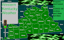
Blog with weather on Western Kentucky and even other weather news. Includes counties: Fulton, Hickman, Carlisle, Ballard, Mccracken, Graves, Livingston, Marshall, Calloway, Crittenden, Lyon, Trigg, Caldwell, Union, Webster, Hopkins, Christian, Henderson, Daviess, Mclean, Muhlenberg, and Todd Counties.

No comments:
Post a Comment