Highlighted Community: Park City, Utah
Today’s highlighted community has undergone quite the journey. From its start as a silver mining town, to an almost ghost town, and now a premier destination for anything from winter sports to spotting your favorite celebrity today we will highlight Park City, Utah.
LOCATION:
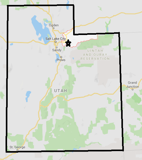
Park City, Utah is located in the Summit County which is located in the Northeastern part of the state. Just like many Wasatch Mountain locations Park City is located in close proximity to Salt Lake City metro so you can access this area from Salt Lake City. It is only a 35-45ish minute drive from Downtown Salt Lake City using Interstate 80, assuming normal traffic conditions. You can also take a Ski Bus or use a shuttle bus service to get from Salt Lake City to Park City.

Geology:
The link above covers the Geology section of Park City quite well. I will just hit the highlights as far as Park City’s Geology is concerned. At various times in the last 300 million years the area that is now a part of Park City was part of a shallow sea, a tropical coastline, a desert with huge sand dunes similar to the Sahara, and a volcanic zone. Major units include the Permian Park City Formation a unit of limestone and sandstone representative of a coastal environment or shallow sea. Triassic and Jurassic Sandstone units representative of sand dunes in a desert and volcanic materials deposited around 23-33 million years ago as the Rocky Mountains were being uplifted. Just like with the Wasatch Mountains and Salt Lake City there is concern for earthquake activity due to active faults that formed during the various uplift events that have created the Wasatch Mountains. A 6.0 earthquake hasn’t been recorded but there still remains an earthquake risk.
This combination of porous rocks, volcanic influences, and structure have created an ideal situation for mineral formation and in this case silver production.
Weather/Climate:
Park City exhibits a Dfb or Humid Continental Climate (cool variant) with warm and mostly pleasant summers, a fall and spring season, and winters that are jam-packed with cold and snow. Average rainfall is around 20-25 inches and average snowfall is around 150 inches annually. Snow is most common from November to April but can fall as early as September and as late as June. Summers are nice with highs typically in the 70s and 80s and low humidity. Due to the drier summers there is a wildfire risk to be aware of during the summer and early fall months. Elevations range from about 6,500 feet to near 9.000 feet with the higher elevations having even colder winters and over 300 inches of snow a year.

History:
Mining in Park City and therefore the creation of Park City occurred in the 1860s. This occurred when soldiers stationed in Salt Lake City crossed over the Big Cottonwood Canyon and discovered silver. Throughout the 19th century and into the mid 20th century, Park City was a mining town. The creation of the Trans Continental Railroad along with the development of electricity made the area very attractive for workers. The population of Park City at this time in the late 1890s was similar to today around 7,500 people. In 1898, a tragic fire impacted the city and burned 3/4th of it to the ground. In a year and a half most of the town was rebuilt.
In the 1930s, as silver mining was on the decline and interest in skiing began with a ski jump being constructed in 1930 and also in 1946 in what would be Deer Valley. In the 1960s, Treasure Mountain Resort opened which generated attention from Sports Illustrated. The rest is history as currently Park City has over 8,000 permanent residents, hosted the 2002 Winter Olympics, became a thriving arts community, and is a popular winter and summer tourist attraction.
For more information go to the following links. https://historicparkcityutah.com/news/park-citys-history


Things To Do:
There are several winter and summer tourists activities. In the winter time, winter sports and the Sundance Film Festival are the main attractions. In the summer season, the main attractions are hiking, mountain biking, and fly fishing.
Winter and Summer Sports:
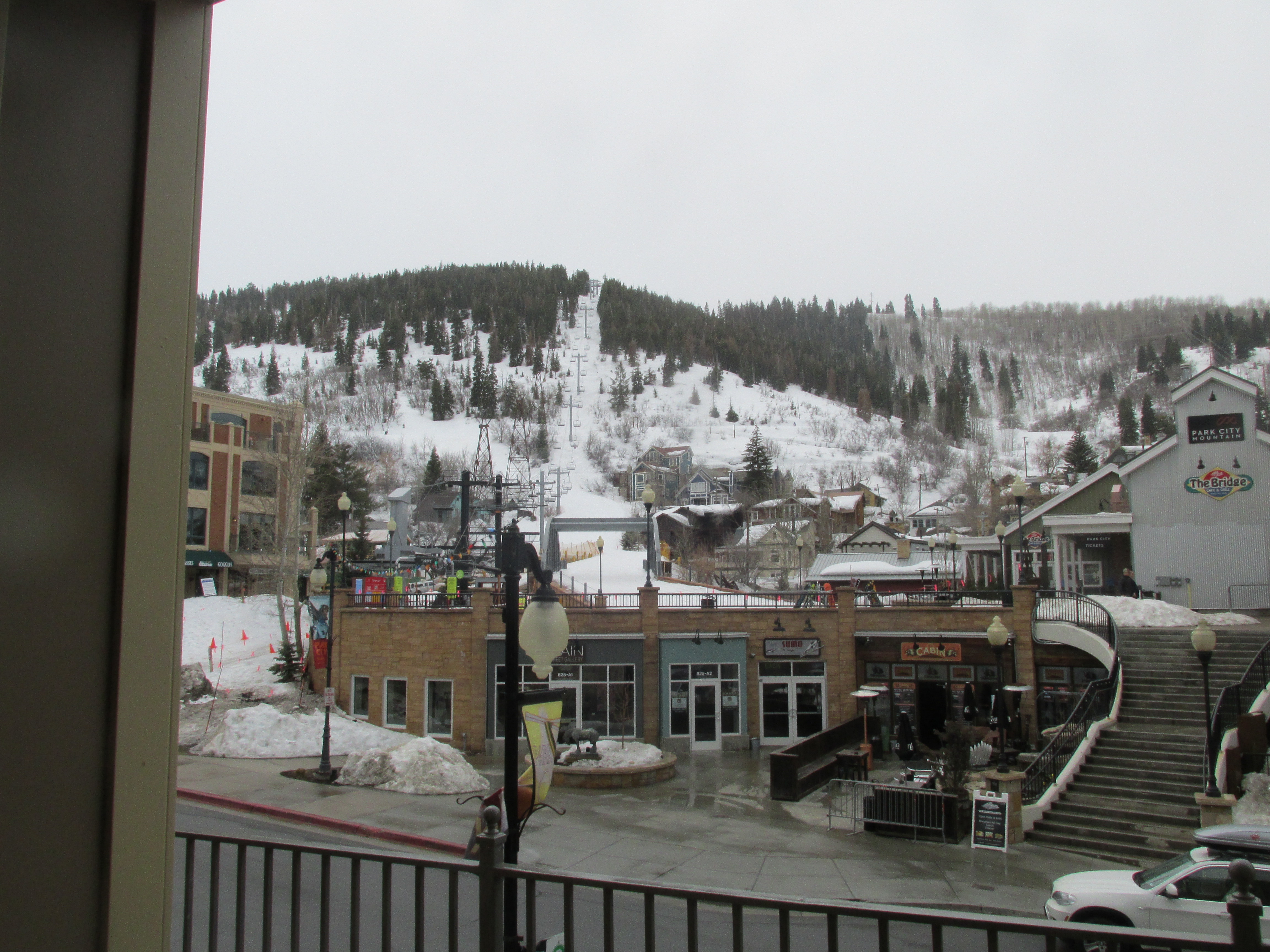
There are two major skiing places in Park City. One is Park City Mountain which combined with Canyons Resort provides over 7,300 acres of skiing. Park City Mountain provides a variety of runs so it is good for beginners, intermediate, and expert run. You can ski and snowboard at Park City Mountain. This is owned by Vail, so they will be in charge of ticket passes. Summer time features ziplines, hiking, and such. https://www.parkcitymountain.com/the-mountain/about-the-mountain/trail-map.aspx
^^ The Link above contains information about Winter and Summer Trail Maps ^^
Another place is Deer Valley just to the south of downtown Park City. Just like Park City Mountain, Deer Valley has a variety of runs from beginners to the experts. The notable difference is that Deer Valley is a ski only resort so that means that snowboarders have to stick to Park City Mountain. In the summer time, Deer Valley features mountain biking opportunities.
https://www.ski.com/deer-valley-resort-trail-maps

Sundance Film Festival:
Park City, Utah is the main headquarters of the Sundance Film Festival. This is an opportunity for independent film makers to get their start. It usually occurs in late January and early February and features screenings, celebratory sightings, and various exhibitions. Several artists such as Kevin Smith and Quentin Tarantino got their start from Sundance. Live performances and music also occurs at the Sundance Film Festival.

Conclusion:
Main street Park City has plenty of entertainment including Escape Room’s, artist exhibits, and a various amounts of shopping. One thing to note is that Park City is a very affluent area so if you are planning on shopping here make sure you bring a good deal of money. One can do Park City on a modest budget (not a shoestring budget though) if they go during the shoulder seasons (Early Fall and Late Spring) and do their research on restaurants before venturing to the city. I am very far from being rich and even I felt a bit of a pinch to the wallet after one day in Park City. The average consumer is said to spend over $100 a day in Park City especially during the Winter and Summer peak season. If you are careful then it isn’t that much different than say Gatlinburg from a cost standpoint.
One good thing about Park City is that it has a free transit system that takes you to across downtown, Kimball Junction (a shopping center area near I-80), and to the various resorts. There are public transportation options from Salt Lake City to Park City including the SLC-PC connect and shuttle options.
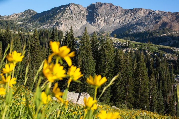
All in all I would recommend everyone to visit Park City at least once in their life even if it is just for half a day. The surrounding scenery, the unique Old West style Main Street, and the various museums and themed restaurants is something everyone should see at least once in their life. If you are into winter sports then you should definitely stop by as there is plenty of opportunity for winter sports. Thanks for reading Highlighted Community Park City. Plans on future posts are listed in the closing paragraph along with some additional pictures.


Coming Up On Highlighted Community:
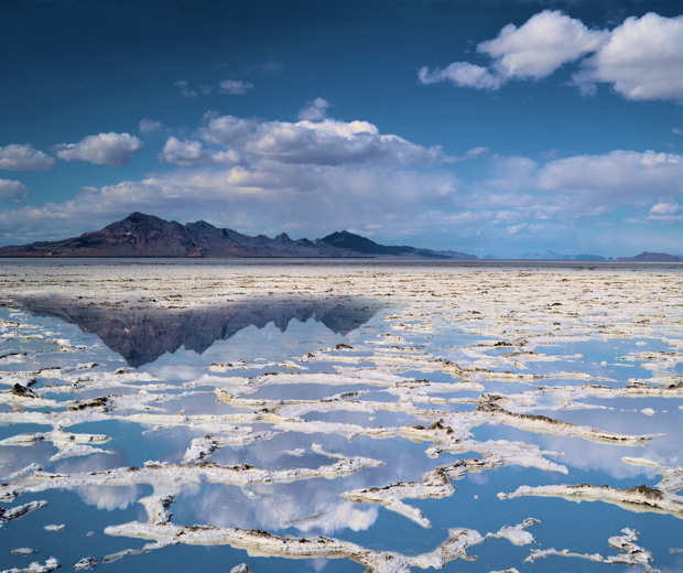
After today’s post the Highlighted Community Series will return to the Kentucky Bluegrass for one episode and will highlight the fascinating town of Berea. That post will be out on Friday May 31st. Then the first week of June will finish up the North Utah posts with a post about Great Salt Lake/ Salt Flats (June 3rd) and Salt Lake City itself (June 7th) . After that there will be more Highlighted Community across IL, KY, and TN throughout June, July, and August.